Nov 4th – It was a long drive from Kaiteriteri to Westport so we tried to break it up with a few interesting stops along the way. We have occasionally seen the odd hitchhiker along the road but in Richmond we saw a guy with a refrigerator waiting for a ride. It was some kind of fundraiser and presumably the frig had been stripped so it wasn’t too heavy. He was on the side of the road when we went in to get gas but he wasn’t there when we came back, so he must have gotten picked up by some kind soul.
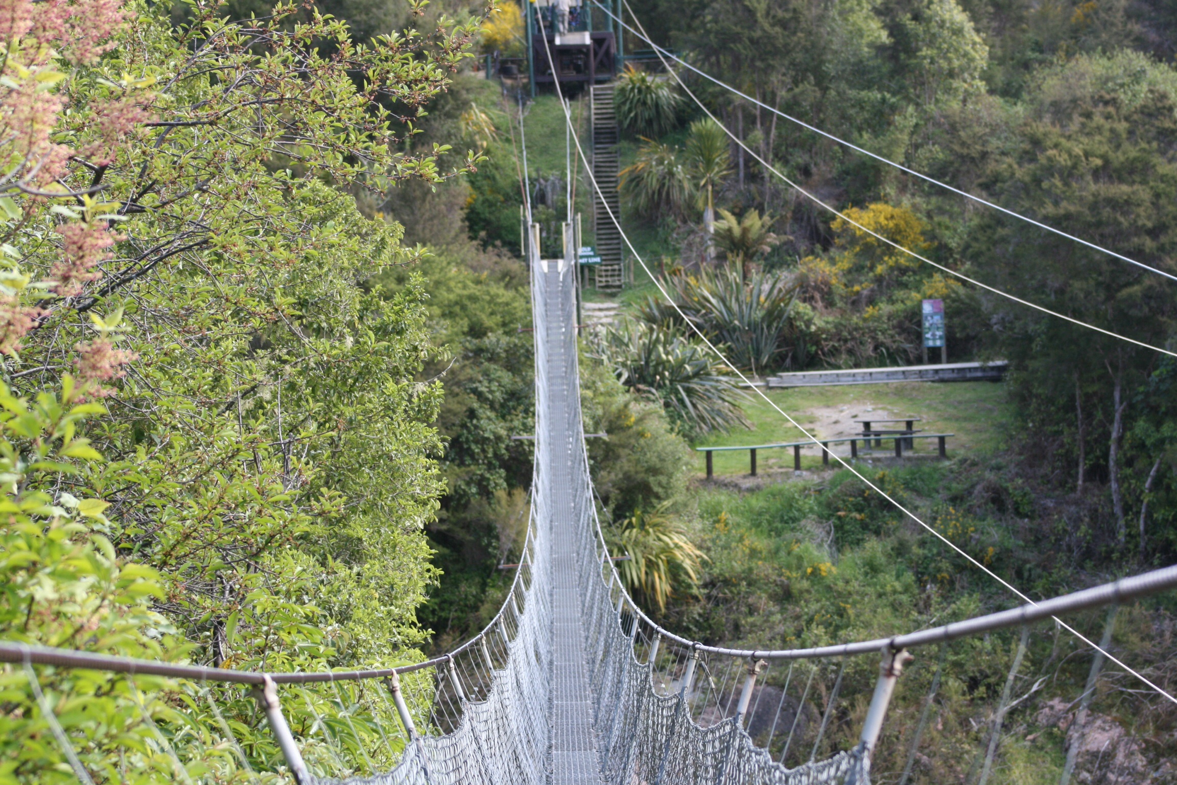 Mid-afternoon we stopped at the Buller Gorge Heritage Park. To get into the park you have to traverse NZ’s longest swingbridge, which didn’t seem to pose too much of a problem for either of us fortunately. This is an area that was part of the gold rush in the 1860s and so part of the experience is an interpretive trail that tells the story of gold mining in the area. While we were to hear more about the importance of gold mining in the development of the west coast later in our trip, this was our first experience. This area also was the epicentre of a 7.8 earthquake in 1929. The fault line runs through the Park, so we were also able to see the lasting results of earth being heaved 4.5 metres upward on one side of the fault line.
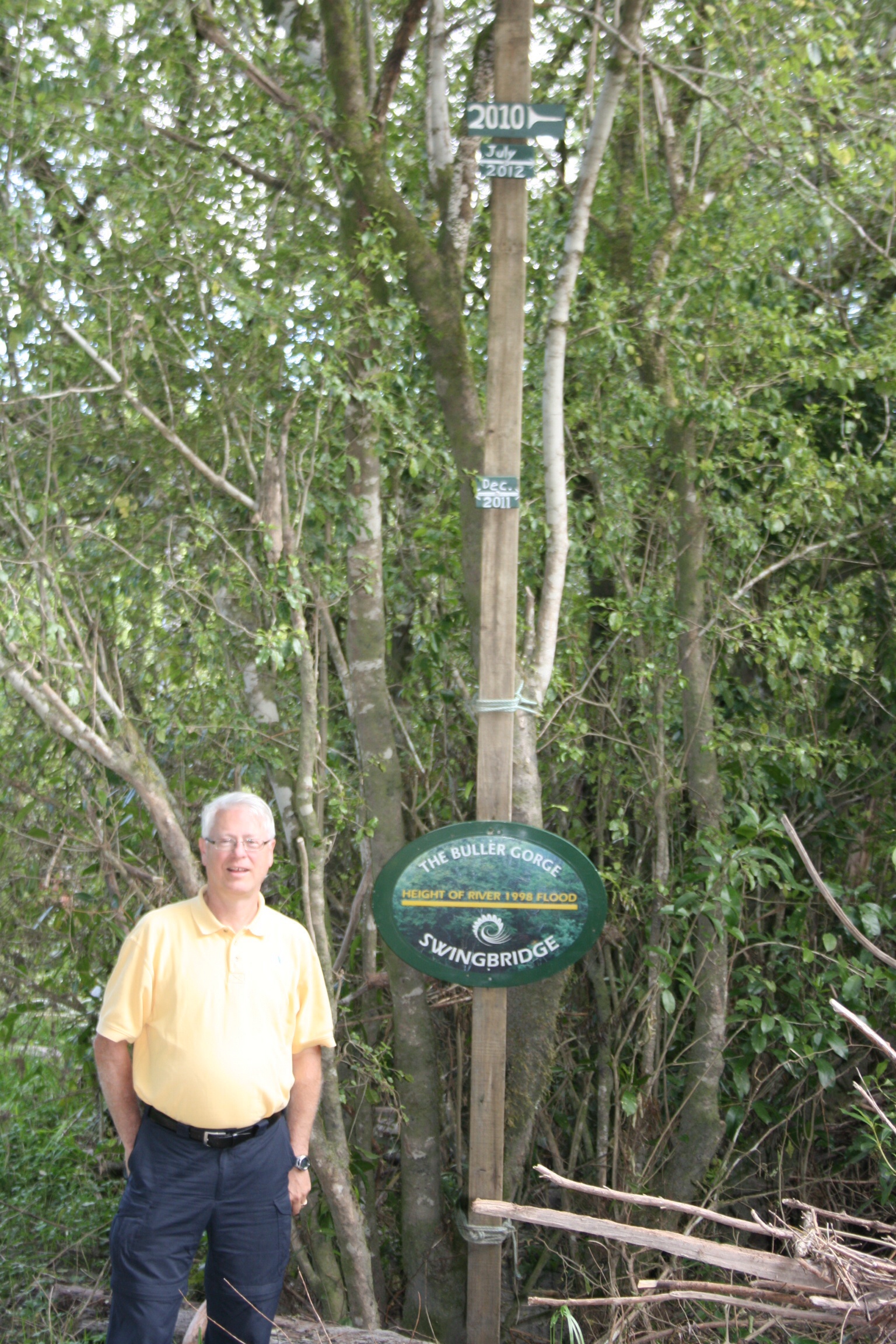 What surprised us most though was the potential for flooding of the Buller River through this area. At one point we were standing a good 20′ above the river and as you can see in the picture (the green wood at the very top of the pole) a 2010 flood was well over 35′. We were curious to hear why the flooding traditionally happened in July which is too early for spring runoff. It appears that both recent floods have come about because of excessive rainfall.
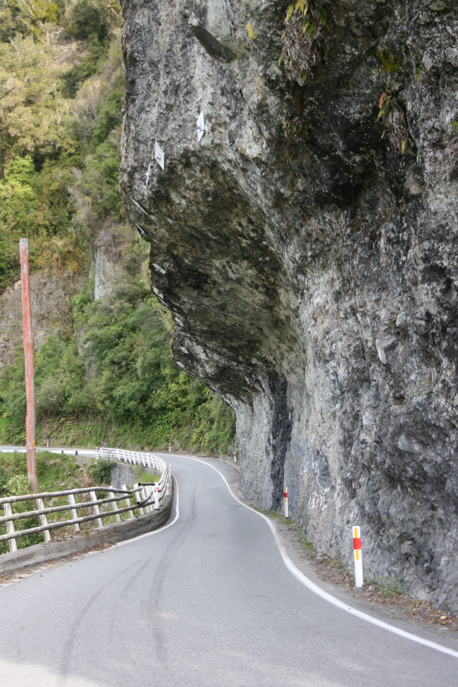
Further down the road we stopped to take a quick picture of a unique rock formation called Hawks Crag. The road has actually been cut through a cliff that drops into the Buller River.